PWL Partnership
Site: Ambleside, West Vancouver
Ambleside Beach, 2100
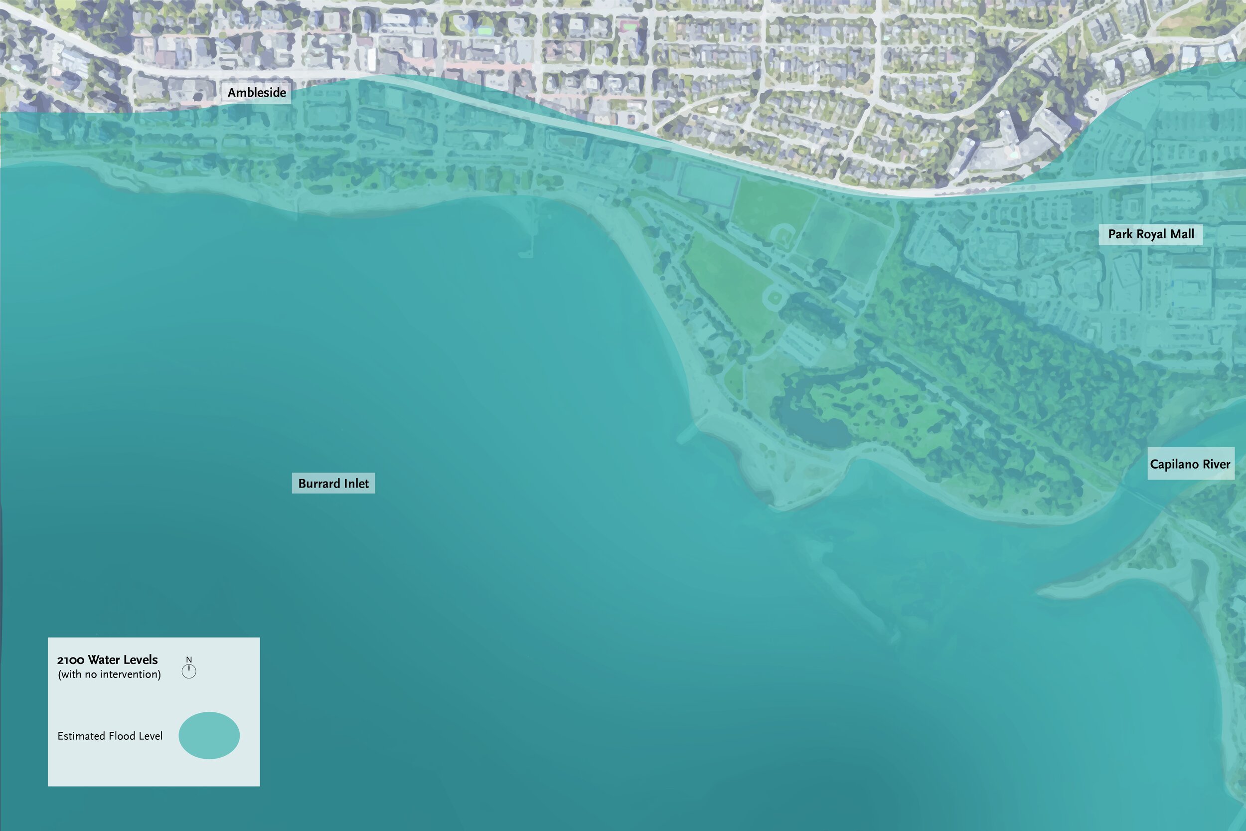
Sea levels have risen by over a meter, and storms have become more frequent. Transportation networks are interrupted and housing demand skyrockets, rapidly changing the built fabric of the region.
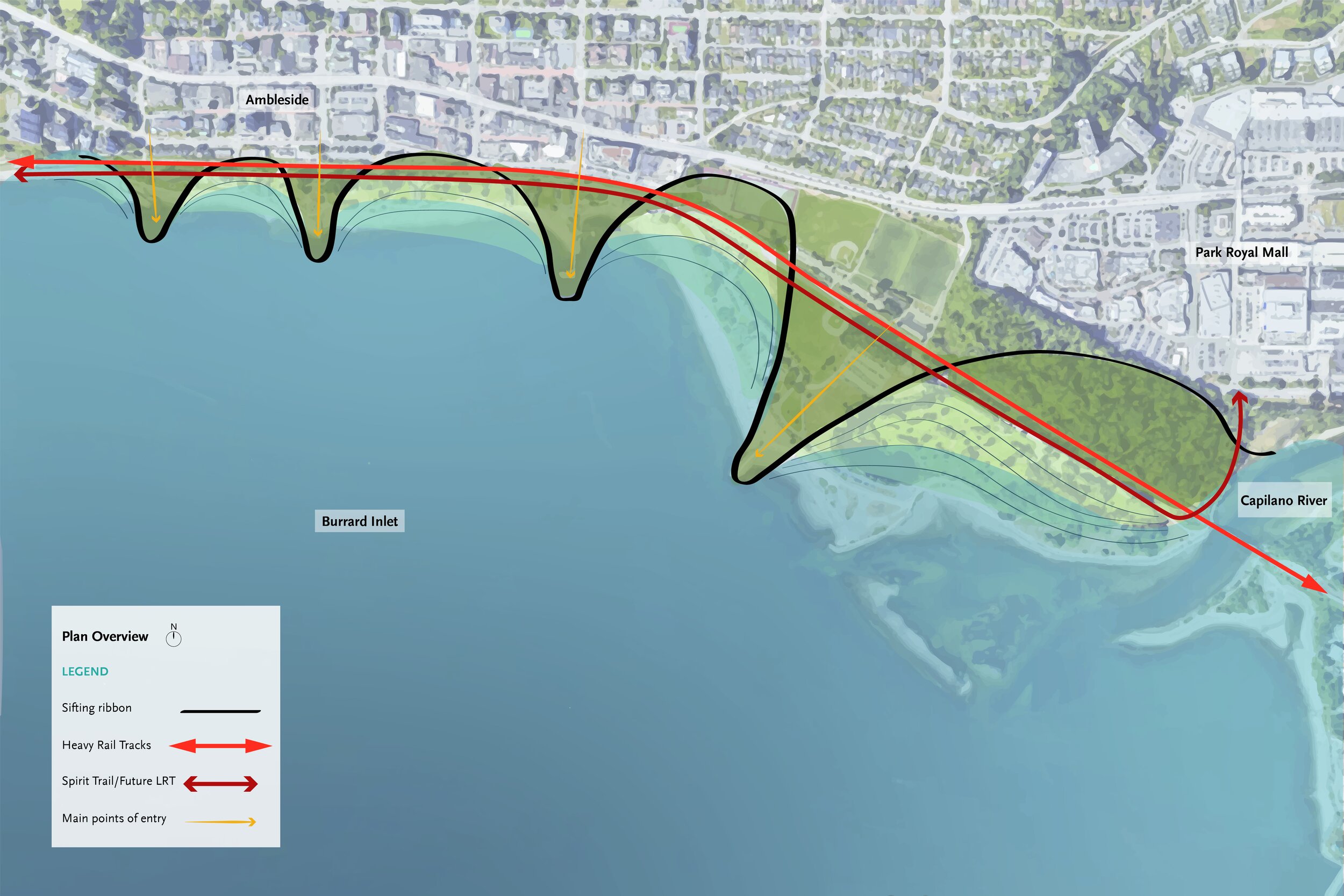
To protect vital infrastructure and the community behind Ambleside Beach, a large dike wall along the existing rail tracks was proposed.
How can this layer of defense be designed to enhance the many ecological, recreational, and cultural benefits this vital parkspace provides? What could Ambleside Beach look like in the year of 2100?


Conceptual Diagrams
-
Description text goes here
-
Sifting pollutants from runoff through saturating intertidal, terraced wetlands and marine growth with brackish mix of runoff and ocean water.
Sifting sand from incoming tides using living groynes to dissipate water action and build beaches.
-
Sifting lowland, floodable programs from high-ground, dry programs to saturate new zones with distinct characters.


